Environmental Impact Assessment Report

The Highway 413 Draft Environmental Impact Assessment Report Comment Period has Ended.

Draft Environmental Impact Assessment Report

On December 1, 2025 the Highway 413 draft Environmental Impact Assessment Report was released for comment. The comment period closed on January 6, 2026. We thank you for your interest and feedback on the Highway 413 Project. Comments provided during the comment period by the public, federal and provincial agencies, municipal representatives, Indigenous communities, and other interested persons will be reviewed and described in the final EIAR, anticipated to be released in early 2026.

This material will be maintained on file for use during the Project and may be included in project documentation. Information collected will be used in accordance with the Freedom of Information and Protection of Privacy Act. We thank you for your interest and feedback on the Highway 413 Project.

The Project

The Highway 413 Project will connect Highway 400 in the Regional Municipality of York to Highway 401 and Highway 407 Express Toll Route (407 ETR) in the Regional Municipality of Halton and the Regional Municipality of Peel. The completed corridor will create a total of 59 kilometres (km) of new highway infrastructure. This includes:

  • A 52 km Highway 413 corridor
  • A 4 km extension to Highway 410
  • A 3 km extension to Highway 427

It will also include 11 interchanges at municipal roads, stormwater management ponds, carpool lots, commercial vehicle inspection facilities, and maintenance facilities. The map below shows the location of the Highway 413, including the Highway 410 and Highway 427 extensions which will connect to Highway 413.

Assessment of Environmental Impacts Process

In accordance with Section 6 of the Highway 413 Act, 2024, a draft EIAR has been prepared to describe the Preliminary Design of the Highway 413 Project. The report outlines the various alternatives considered, the environmental studies completed for the Project and describes potential environmental impacts as well as proposed mitigation measures. It also includes a record of consultation that summarizes the consultation and engagement carried out with Indigenous communities, regulatory agencies, stakeholders, and the public in respect of the Project

This assessment of environmental impacts builds upon the considerable work that the Ontario Ministry of Transportation (MTO) has undertaken since 2007 to advance the Highway 413 Preliminary Design and Assessment of Environmental Impacts, referred to as “the Project”. This includes environmental and engineering investigations involving over 20 disciplines and consultation and engagement with municipalities, interested stakeholders, and members of the public, as well as engagement with Indigenous communities.

Webinar

A webinar was held on December 3, 2025 to share information on the draft EIAR and provide insight on how to navigate the document. A recording of the webinar is now available.

Busy multi-lane highway with cars and trucks moving in both directions. Sun rises or sets behind a distant city skyline, with trees lining the roadside.

Highway 413 Information Centre

Visit the Highway 413 Information Centre for further information on the draft EIAR, including a summary of environmental studies and an Interactive Map to further explore Highway 413's Preliminary Design.

The Highway 413 Act, 2024 received Royal Assent on November 25th, 2024. In accordance with the requirements of the Highway 413 Act, 2024 the draft Environmental Impact Assessment Report includes, environmental studies completed for the project alongside potential environmental impacts and proposed mitigation measures, and the record of consultation.

  • Description of Highway 413

    • A statement on the purpose of the Project and a description of the Project, based on the Preliminary Design.
  • Development of the Preliminary Design

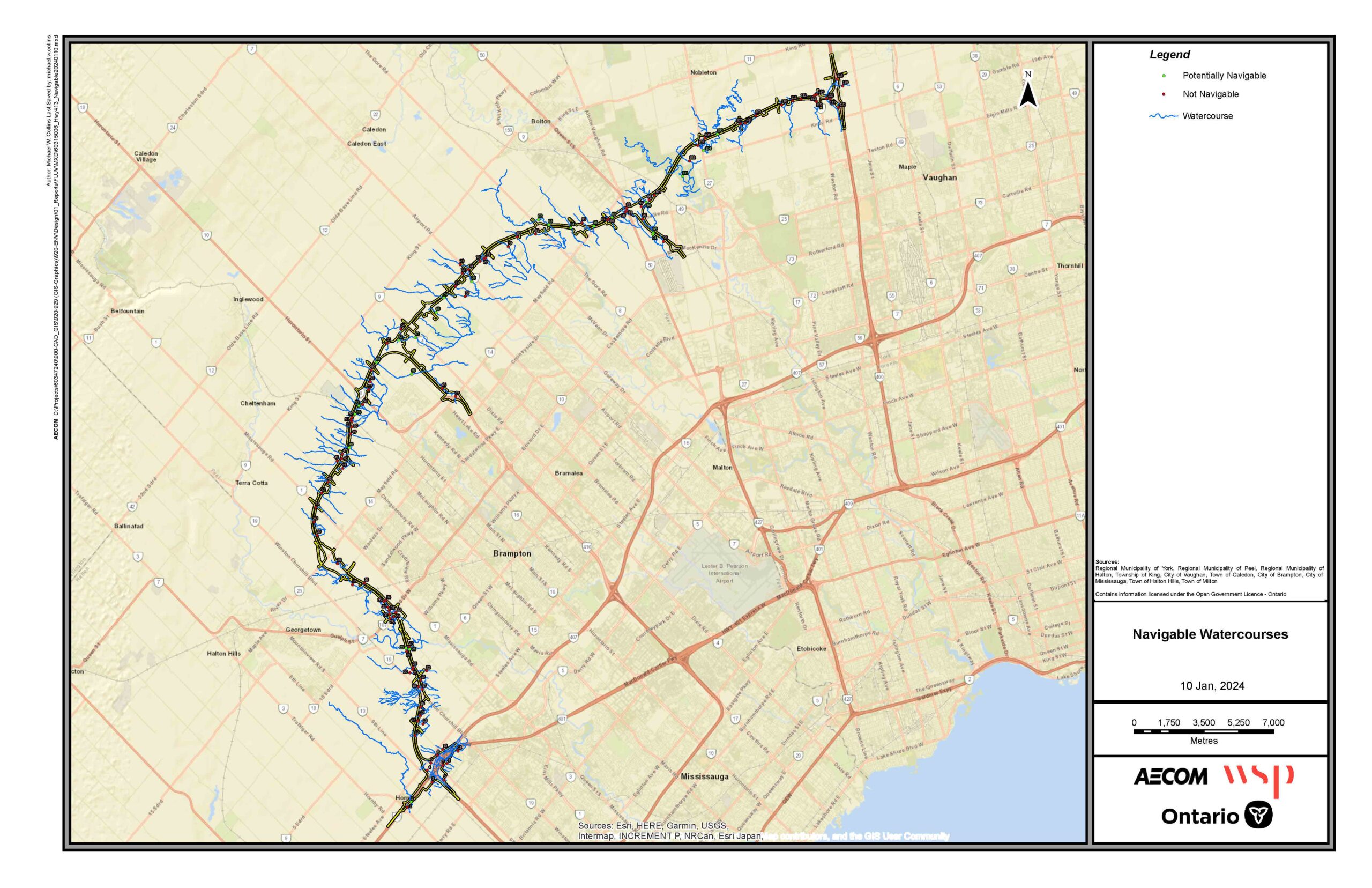
    • Maps showing the location and preliminary designs of the Highway 413 Project, including the extensions of Highway 410 and Highway 427.
    • Descriptions of the various alternatives considered for the Highway 413 Project as well as the rationale for selecting the current alignment.
  • Environmental Considerations

    • A summary of the local environmental conditions.
    • A description of the environmental studies completed for the Project, potential environmental impacts, and proposed mitigation measures.
    • A description of how mitigation will be carried forward, assessed, and monitored during future design phases.
    • A list of provincial, federal or other authorizations which may be required for the Project.
  • Consultation and Engagement

    • A record of consultation and engagement with regulatory agencies, the public, stakeholders and Indigenous communities.

See below for more information on the content included in each chapter of the draft EIAR.

Chapter 1: Overview of the Undertaking
Chapter 2: Local Environmental Conditions and Engineering Studies
Chapter 3: Description of the Alignments Considered and Rationale for Selecting the Preferred Alignment
Chapter 4: Preliminary Design
Chapter 5: Impacts and Mitigation
Chapter 6: List of Potential Provincial, Federal or Other Authorizations
Chapter 7: Indigenous Consultation and Engagement
Chapter 8: Consultation and Engagement
Chapter 9: Significant Changes
Chapter 10: Next Steps
Appendix A: Consultation and Engagement Record
Appendix B: Preliminary Design Plans
Appendix C: Community Value Plan

FAQs

What is the Highway 413 Act?
What studies informed the assessment of environmental impacts?
How did the Ministry of Transportation incorporate public, stakeholder and Indigenous community input into the selection of the Preliminary Design?
How will Highway 413 impact traffic?
How will the Ministry of Transportation ensure that the mitigations proposed in the EIAR are implemented?
Is the Ministry of Transportation still required to obtain environmental permits and approvals for the Highway 413 Project?
Which Indigenous communities did the Ministry of Transportation consult with throughout the development of the Preliminary Design?
What opportunities did the public have to share feedback on the development of the Preliminary Design?
What happens if the Detail Design is inconsistent with the final EIAR?
What is the timeline for Highway 413?
Privacy Overview
Logo for Highway 413. Three green curved lines on the left resemble a road. To the right, bold black text reads “HIGHWAY 413” with smaller green text below: “Planning with Vision | Planning for People.”

This website uses cookies so that we can provide you with the best user experience possible. Cookie information is stored in your browser and performs functions such as recognising you when you return to our website and helping our team to understand which sections of the website you find most interesting and useful.

Strictly Necessary Cookies

Strictly Necessary Cookie should be enabled at all times so that we can save your preferences for cookie settings.

3rd Party Cookies

This website uses Google Analytics to collect anonymous information such as the number of visitors to the site, and the most popular pages.

Keeping this cookie enabled helps us to improve our website.