Here are some resources for those who want to learn more about Highway 413, corridor designation, and the approach to assessing environmental impacts.

")
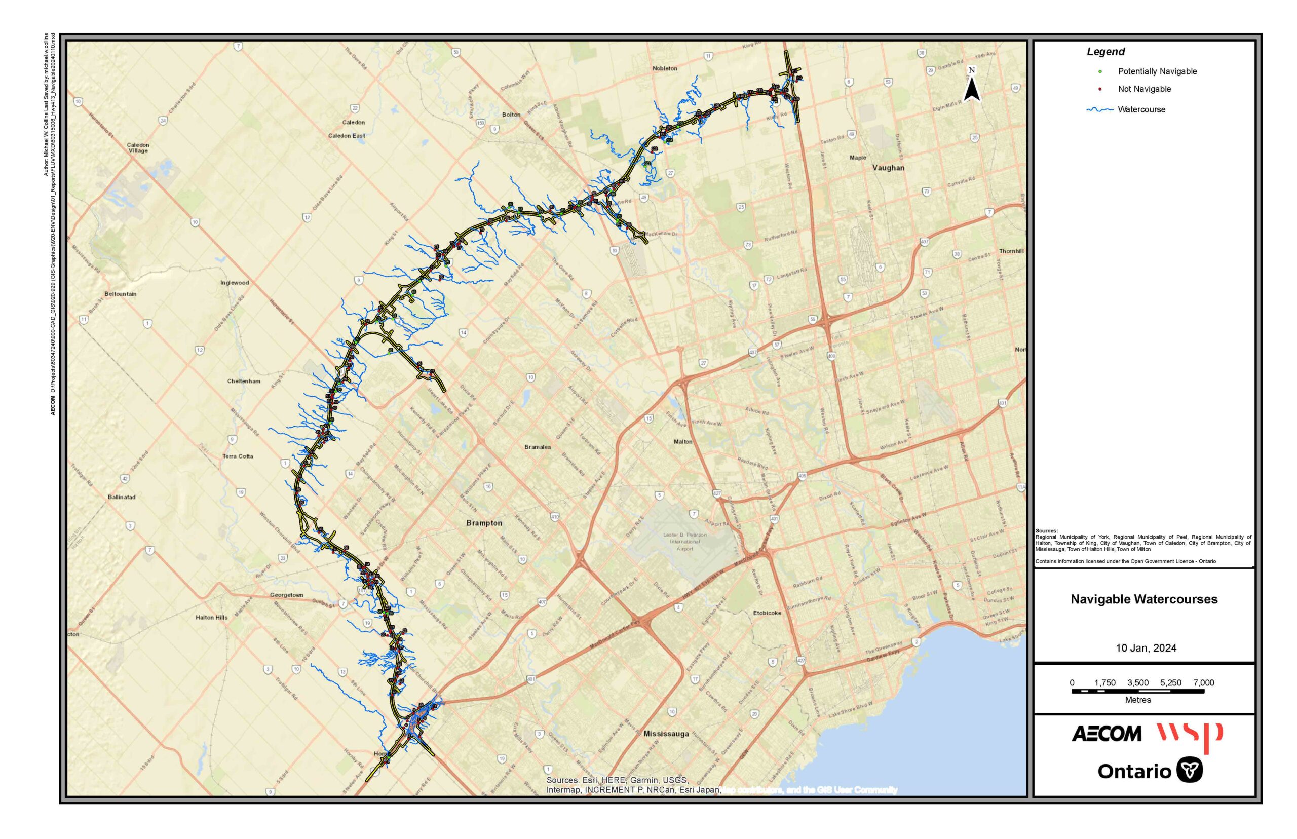
Download Highway 413 Project Shapefiles
Shapefiles are a geospatial data format used in Geographic Information Systems (GIS) to store the location, geometry, and attributes of geographic features. They are commonly used by planners, engineers, and other professionals for mapping, analysis, and visualization. Before downloading and using these files MTO requires users to accept terms and conditions confirming that the data is in draft form and subject to change.

Highway 413 Information Centre
Visit the Highway 413 Information Centre for further information on the draft EIAR, including a summary of environmental studies and an Interactive Map to further explore Highway 413's Preliminary Design.

Explore the preliminary transportation corridor design through the Highway 413 interactive map.*
* The accuracy of these maps extends to December 1st, 2025, and is based on the Preliminary Design reflected in the draft Environmental Impact Assessment Report, which was prepared accordance with the process set out in the Highway 413 Act and the Highway Designation under the Public Transportation Highway Improvement Act.